

Third 3rd COSMO-SkyMed 2nd Generation Satellite Successfully Launched
Adds to Italian Dual-Use Radar Earth Observation Constellation

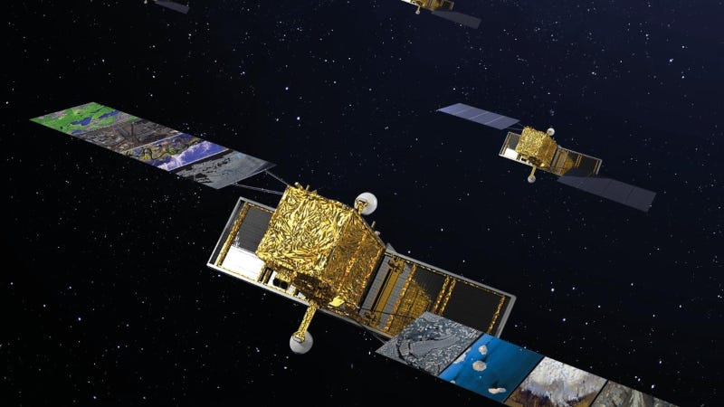
The third satellite part of the COSMO-SkyMed Second Generation (CSG) constellation, owned by the Italian Space Agency and the Italian Ministry of Defense, built by Thales Alenia Space and operated in orbit by Telespazio has been successfully launched from Vandenberg Space Force Base in California aboard a SpaceX Falcon 9 rocket.
“Each COSMO-SkyMed launch represents a significant achievement for the Italian national space system and its supply chain.”
Massimo Claudio Comparini, Leonardo
Just under an hour after the separation from its launcher, the satellite’s signal was acquired and controlled by Telespazio’s Fucino Space Center located in Abruzzo, Italy. The nominal duration of the LEOP (launch and early orbit phase) will last approximately 9 days.
“Each COSMO-SkyMed launch represents a significant achievement for the Italian national space system and its supply chain,” said Massimo Claudio Comparini, Managing Director of Leonardo’s Space Division. “The program, developed to meet the requirements of the Italian Space Agency and the Italian Ministry of Defense, reflects the technological and industrial excellence led by Leonardo together with the joint ventures Thales Alenia Space, Telespazio and e-GEOS. Earth observation and the data it provides are a strategic asset for security and sustainability, enabling increasingly targeted and timely services and interventions. This commitment strengthens Italy’s role in space and helps generate value for the country and the international community.”
“Being responsible for the overall COSMO-SkyMed Second Generation program, Thales Alenia Space is extremely proud of this successful launch, which further demonstrates the company’s excellence in radar technology and highlights the dedication of our teams,” said Giampiero Di Paolo, CEO of Thales Alenia Space in Italy and SVP of Earth Observation, Exploration and Navigation. “Once fully deployed with its four satellites, it will provide substantial technological and performance progress, strengthening Thales Alenia Space’s global leadership in space-based Earth observation infrastructure.”
COSMO-SkyMed (Constellation of Satellites for the Mediterranean basin Observation) is a dual-use Earth observation constellation owned by the Italian Space Agency (ASI) and the Italian Ministry of Defense. Regarding the development of the constellation, the Italian industry plays a leading role with Leonardo and the joint ventures Thales Alenia Space, Telespazio and e-GEOS, plus with a significant number of small and medium-sized enterprises.
This third Second Generation satellite, built by Thales Alenia Space like the other satellites in the constellation, will guarantee the operational continuity of radar (SAR, Synthetic-Aperture Radar) services, further enhancing the already high performance of the system in terms of image quality and area coverage. With a third satellite in orbit, Cosmo SkyMed Second Generation, using the latest technologies and engineering solutions, is progressively replacing the first-generation system, which features four satellites including two operational to date. The new generation increases the overall performance of the system and significantly expands the range of applications offered, given the final configuration of four satellites. The entire system, including the ground segment, is setting the performance standard for space-based radar observation systems in terms of accuracy, image quality and flexible user services.
Over the years, the data obtained by the COSMO-SkyMed system have provided fundamental information for environmental and territorial monitoring, security, and emergency management. Since the launch of the first COSMO-SkyMed satellite in 2007, about 4,3 million images have been acquired by the satellites and archived.
As a mission participating in the European Copernicus program, COSMO-SkyMed’s images are of great importance to the European Commission’s Emergency Rapid Mapping service, also operated by e-GEOS, which provides satellites maps of areas affected by natural disasters of humanitarian crises within a matter of hours.