

The Invisible Infrastructure
How a Handful of Satellite Data Providers Now Hold the Keys to a $100B+ Precision Agriculture Industry

What This Means
The satellite data service market for precision agriculture is a $6.88 billion segment in 2026, growing toward $11.8 billion by 2030 at a 14.4% compound annual growth rate — but the supply chain behind it runs through three or four primary constellation operators with no agricultural-specific redundancy. Planet Labs, Maxar Technologies (DigitalGlobe), and Airbus dominate the imagery layer; a thin tier of ground processing and application platform vendors sits below them with limited qualified alternatives. C-suite executives at ag-tech companies and food systems investors have not mapped their operational dependency on a space infrastructure layer designed for defense and general Earth observation, not farming. That mismatch is now a quantifiable supply chain risk.
The Farm Runs on Satellites It Doesn’t Own
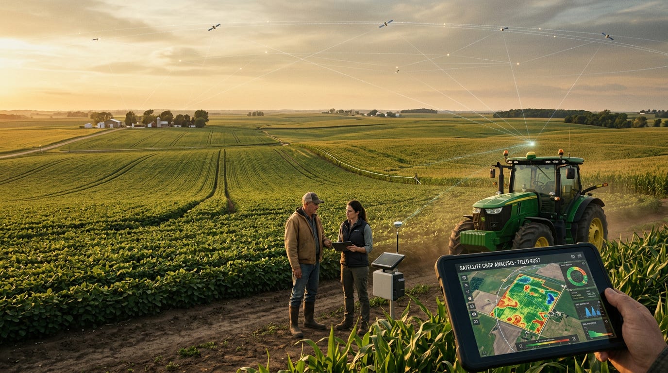
Walk into the operations center of a large-scale row-crop operation in the Midwest today and you will find something that would have been unrecognizable a decade ago: a screen showing near-real-time crop health indices derived from satellite imagery, overlaid on soil moisture maps built from microwave radiometry data, feeding automated variable-rate application decisions for fertilizer and irrigation. The farmer may not know who owns the satellites overhead. The agronomist advising the operation may not know either. The ag-tech platform vendor who assembled the data stack probably has a licensing agreement with one constellation operator and a fallback relationship with a second, if they have a fallback at all.
This is the structural condition of precision agriculture in 2026: an industry approaching $22.5 billion in global market value, growing at 15.4% annually, and critically dependent on a satellite data supply chain it neither owns, influences, nor has mapped with any rigor. The supply chain for that data runs through a small number of commercial constellation operators whose primary customers are not farmers — they are defense agencies, government intelligence communities, and financial data buyers. Agriculture is a downstream consumer of a supply chain built for someone else.
That asymmetry was manageable when satellite data was a premium add-on layered atop traditional farming practice. It is no longer manageable when satellite-derived intelligence is embedded in the core decision loop for planting, input application, harvest timing, and yield forecasting across hundreds of millions of acres. The question executives and policy professionals haven’t been asking, and need to start, is not “how do we use more satellite data?” It is: “What happens to our business when a key provider goes offline, changes its pricing model, or prioritizes a defense contract over an agricultural delivery window?”
The Constellation Layer: What Changed and When
The Earth observation (EO) market is projected to reach $15 billion in revenue by 2030, with the agriculture sector growing within it at a 15% compound annual growth rate — the highest sector-specific rate in the commercial EO segment. That growth is being driven not by new satellite programs designed for farming, but by the secondary commercialization of constellations built for broader remote sensing missions. The agricultural market is, in effect, riding a capability wave it did not fund and does not control.
Three operators have established dominant positions in the imagery layer that precision agriculture depends on. Planet Labs operates the largest commercial Earth-imaging constellation in orbit, providing daily global coverage at 3.7-meter resolution, a specification that enables crop health monitoring, pest detection, and yield estimation at field level. Planet’s subscription model offers continuous data streams that ag-tech platforms have integrated as a primary data input. Maxar Technologies, through its DigitalGlobe heritage, brings the highest-resolution commercial optical imagery available in the market, serving applications requiring sub-meter detail for specific crop phenotyping and infrastructure assessment. Airbus Defence and Space operates the Pleiades Neo and SPOT constellations, providing European-anchored coverage with particular strength in multispectral and synthetic aperture radar capabilities that penetrate cloud cover.
Below these three, a second tier of more specialized providers has established positions in specific data modalities. Satellogic offers high-frequency multispectral imaging at emerging price points. Spire Global contributes atmospheric and weather data via its radio occultation constellation, critical for microclimate modeling in precision irrigation. The hyperspectral segment, which enables the most granular crop chemistry analysis, is still developing at commercial scale, but agriculture already represents the second-largest application segment at 18% market share, with a 14.2% annual growth rate in hyperspectral sensor demand.
The Global Navigation Satellite System (GNSS) and Global Positioning System (GPS) layer sits beneath and alongside the imagery layer, providing the positioning infrastructure that makes variable-rate applications and automated field navigation possible. This layer is dominated by government-operated systems, the U.S. GPS, the European Galileo, Russia’s GLONASS, and China’s BeiDou, with commercial augmentation provided by companies like Trimble and the emerging Xona Space Systems, which targets centimeter-level precision accuracy for agricultural automation. GNSS and GPS now account for 38% of the precision agriculture technology market by revenue share, making this the single largest technology dependency in the sector.
