

Tanager Data Products Released for General Availability
Planet Marks Anniversary of the Satellite’s First Light Imagery

Data products produced by the Tanager-1 satellite launched last year by Planet are now generally available, as the company marks the first anniversary of its first-light images. Planet customers are now able to purchase Tanager core imagery to support analyses of Earth’s surface and atmosphere, as well as a new Methane Quicklook product generated in collaboration with Carbon Mapper.
"Early analysis gives us confidence that Tanager’s hyperspectral data will be proven to be science-grade and nearly ideal radiometric quality."
Robbie Schingler, Planet.
Data made available through Tanager-1 can support a variety of customer use cases. Methane Quicklook data will allow customers to access initial emission quantification estimates to support rapid detection and repair for methane leaks. Planet’s Tanager-1 core hyperspectral imagery products – radiance and surface reflectance – can support a wide array of applications including mineral mapping, biodiversity and ecosystem health, agricultural management, urban area mapping, disasters, and wildfire risk and response.
"Early analysis gives us confidence that Tanager’s hyperspectral data will be proven to be science-grade and nearly ideal radiometric quality, and it therefore has incredible potential to help inform strategic planning and decision-making across a range of industries, from mitigating methane leaks to better understanding natural resource mapping,” said Robbie Schingler, Co-Founder and Chief Strategy Officer of Planet. "The quality of the data is a testament of the extraordinary NASA JPL design and the workmanship of the Planet-built and calibrated instrument. As we celebrate this major milestone, we are incredibly optimistic about the future and the new applications our customers will discover with Tanager data.”

Tanager-1’s first set of imagery of Karachi, Pakistan, was taken and released last September. In the year since, Tanager-1 has provided data used by Carbon Mapper to detect and quantify thousands of methane and CO2 plumes. This is in addition to its collection of over 69,000 data points, consisting of over 31 million square kilometers globally.
“In the year since its launch, Tanager-1 has opened up new dimensions of Earth observation for Planet and our partners, detecting over 5,500 plumes across nearly 3,200 sources. From actionable methane detection solutions to core imagery datasets, we can now utilize Tanager’s full potential to help customers reach their efficiency and sustainability objectives,” said Trevor McDonald, Planet Senior Product Manager, Imagery. “With more Tanager satellites on the horizon, we’re excited to continue developing our robust hyperspectral constellation and product offerings."
As part of these new offerings, Tanager-1 is now available to task core imagery products such as radiance and surface reflectance, as well as Planet’s Methane Quicklook product. Customers can consume these datasets with Tasking Credits for new tasks and archive, or subscribe to Methane Monitoring available in selected regions. The Methane Monitoring subscription service will provide quarterly Tanager and associated methane data in regions that fall within two key geographies: the Permian Basin (encompassing parts of Texas and New Mexico) and the Denver-Julesburg Basin in Colorado. These geographies were intentionally selected to provide data across key oil and gas regions in the U.S. by helping operators monitor, identify, and address leaks – helping boost efficiency, mitigate environmental impacts, and reduce cost.
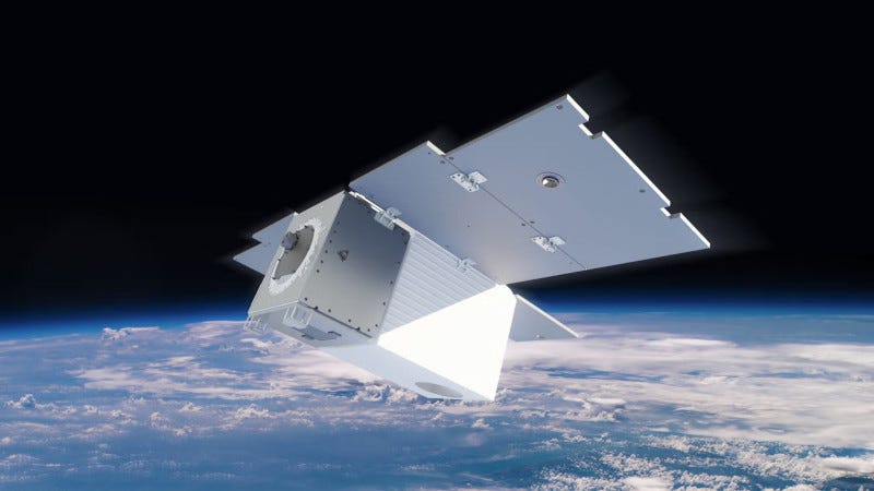
Tanager-1, Planet’s first hyperspectral satellite, was made possible through a first-of-its-kind, philanthropically-funded partnership of organizations led by Carbon Mapper. Tanager-1’s advanced imaging spectrometer technology was pioneered by the NASA Jet Propulsion Laboratory, and leverages Planet’s next-generation smallsat bus. Tanager-1 is built to image across over 400 spectral bands, with 30-meter spatial resolution. Planet plans to launch additional Tanager satellites in collaboration with Carbon Mapper.