

Satellite Flood Monitoring System Deployed Across Norway
ICEYE SAR Constellation to Give Emergency Managers Near Real-Time Flood Intelligence

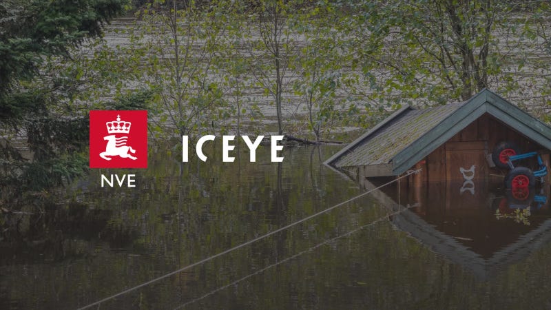
Norway’s water resources agency has selected a Finnish satellite intelligence company to provide nationwide flood monitoring, delivering near real-time data to support emergency response and hazard mapping across the country.
“This service has the potential to strengthen how we monitor and document major water events across Norway.”
Torsten Starkloff, NVE
The Norwegian Water Resources and Energy Directorate (NVE) awarded ICEYE a contract — through a competitive tender — to provide satellite-based flood monitoring services across mainland Norway and Svalbard. The project began in February 2026 and runs for one year, with options for two additional years.
Under the agreement, ICEYE will deploy two complementary services using its synthetic aperture radar (SAR) satellite constellation. The Flood Rapid Impact service delivers automated flood extent updates as frequently as every six hours during active events. The Flood Insights service provides more detailed analysis — including water depth and impact assessments — updated every 24 hours throughout the duration of a flood event.
Norway’s recurring snowmelt- and precipitation-driven flooding presents a persistent national challenge. Traditional optical satellites are often hampered by cloud cover, complex terrain, and seasonal darkness. ICEYE’s SAR technology images the Earth’s surface regardless of weather or lighting conditions, giving NVE a continuous view of developing flood situations. ICEYE’s constellation provides revisit rates above the company’s global average of 12 times per day over Norway.
“Our always-on SAR monitoring gives NVE a persistent, all-conditions view of flood impacts across Norway, delivering continuous, actionable intelligence that protects people and critical infrastructure,” said Andy Read, VP of Global Government Solutions at ICEYE.
NVE plans to use the data to calibrate hydraulic models, improve flood hazard maps, evaluate forecast accuracy, and support operational emergency response during major flooding events. The agency also intends to share data with other Norwegian authorities and municipalities as results become available.
“This service has the potential to strengthen how we monitor and document major water events across Norway,” said Torsten Starkloff, Flood Discipline Group Leader at NVE. “The resulting data will support improvements to our flood warning and hazard mapping efforts and provide valuable insights for future planning and preparedness for years to come.”
Flood intelligence will also be published on Naturhendelser.varsom.no, Norway’s national natural hazard information platform.
The NVE contract expands ICEYE’s growing portfolio of government partnerships for disaster preparedness and environmental monitoring. The company, founded and headquartered in Finland, operates globally with more than 1,000 employees across Europe, Asia-Pacific, the Middle East, and the United States.