

Satellite-Based Flood and Wastewater Monitoring in the UK Introduced
Severn Trent Working with ICEYE on Full Flood Extent Analysis Throughout the Entire Flood Cycle

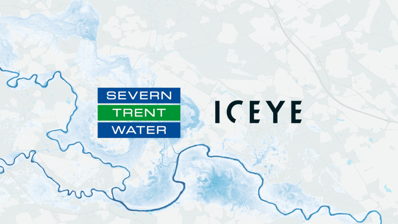
In an effort to improve climate resilience and protect the environment, Severn Trent is working with satellite technology company ICEYE to enhance flood and wastewater management capabilities across its network in the Midlands.
“Having a better understanding of how inundation affects our assets enables us to plan interventions and optimize how our network performs to minimize impacts for our customers and the environment.”
Richard Walwyn, Severn Trent
Severn Trent, one of the UK’s largest water utility companies serving over 8 million customers, is leveraging ICEYE’s Flood Insights Solution, powered by cutting-edge Synthetic Aperture Radar (SAR) satellites, to monitor inundation to its wastewater assets. This collaboration supports Severn Trent’s commitment to meeting stringent Environment Agency regulatory requirements while improving transparency, operational response, and public trust.
“This is a transformational step forward for us,” said Richard Walwyn, Head of Asset Intelligence and Innovation at Severn Trent. “ICEYE’s satellite technology gives us a clear view of what’s happened on the ground during extreme weather despite cloud coverage. Having a better understanding of how inundation affects our assets enables us to plan interventions and optimize how our network performs to minimize impacts for our customers and the environment.”
Severn Trent is the first UK water utility to adopt ICEYE’s SAR satellite technology, marking a significant shift in how the industry tackles flooding and storm-related disruptions. The relationship began by assessing how past floods impacted critical infrastructure in Shrewsbury, one of England’s most flood-prone towns due to the River Severn, and is now expanding access across the company’s full service area.
Following severe weather, ICEYE’s satellite data enables Severn Trent to rapidly assess flood extent and depth. By integrating ICEYE’s data into its existing GIS and applying data science to analyze its sensor readings, Severn Trent is able to get a better understanding of the impact of river flooding on its waste network. Severn Trent uses this capability to improve incident transparency and identify preventative measures to mitigate inundation and its impact on wastewater management services.
“With the pressure on water companies to act faster and communicate better during climate events, our flood data gives Severn Trent the clarity it needs to protect its customers, serving as a source of storm impact data. We’re proud to support utility companies and water management organizations around the world, setting the standard for innovation and responsibility,” said Andy Read, Global Head of Government Solutions, ICEYE.