

New Satellite Manufacturing Facility in Burlingame to Build GPS Alternative
Xona Space Systems' New Northern California Site Backed by $170M Series C

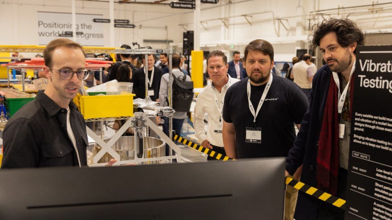
A satellite manufacturing facility aimed at building a commercial alternative to GPS opened April 9 in Burlingame, California, marking a shift from orbital demonstration to full-scale production of a next-generation global navigation system. Xona Space Systems launched the facility with a ribbon-cutting ceremony attended by U.S. Rep. Kevin Mullin, D-South San Francisco, Stuart Riley, vice president of engineering at Trimble, and industry leaders from across the space and technology sectors.
“What used to take billions of dollars and decades to build, we’re now doing in years.”
Brian Manning, Xona Space Systems
The facility will serve as the primary integration and assembly site for Xona’s Pulsar constellation — a network of more than 250 satellites designed to operate from low Earth orbit as a commercially built positioning, navigation, and timing service. The company said the entire constellation will be deployed within this decade at a total cost lower than that of a single traditional GPS satellite currently in orbit.
“What used to take billions of dollars and decades to build, we’re now doing in years,” said Brian Manning, co-founder and CEO of Xona. “The entire Pulsar constellation will be built right here, inside this decade, for the cost of one GPS satellite on orbit today. Here, we’re not just proving Pulsar’s capability can exist, but that we also have the means and resources to build it at scale.”
At full production capacity, the Burlingame facility is designed to manufacture two to three satellites per week — a rate that would exceed the total number of navigation satellites the United States currently produces in a year. The first Pulsar satellite to be assembled at the site is scheduled for launch in October.
The opening underscores growing concern among U.S. officials and technology leaders about the vulnerability of legacy GPS infrastructure to jamming, spoofing, and signal degradation — threats that have been increasingly documented in both military and civilian settings. Pulsar operates from low Earth orbit, offering stronger signal strength and greater resilience than traditional GPS satellites, which orbit at much higher altitudes.
Mullin, who signed a solar panel that will become part of the first Pulsar satellite built at the facility, stressed the national security and economic dimensions of developing navigation infrastructure domestically.
“We’re working to strengthen domestic manufacturing, invest in advanced technologies, and support the full pipeline — from research to production — that makes innovation real,” Mullin said. “Because if we don’t build these systems here, they will be built somewhere else. And we will be living on infrastructure defined by others.”
The Burlingame facility was made possible in part by Xona’s $170 million Series C funding round, which closed in late March. The round was led by Mohari Ventures Natural Capital, with participation from Craft Ventures, ICONIQ, Woven Capital, NGP Capital, Samsung Next, Hexagon, and other investors.
Xona’s Pulsar satellites are designed to be smaller and entirely software-defined, avoiding the need for costly components such as atomic clocks used in traditional navigation satellites. The company says this architecture allows it to reduce costs substantially while deploying a larger and more adaptable constellation.
The Burlingame site forms part of a broader supply chain strategy. Xona is simultaneously expanding its operations in Montreal to accelerate development timelines. The dual-location approach is intended to build redundancy and speed into the production process as the company races to deploy a full operational constellation.
Pulsar is designed to deliver real-time, centimeter-level positioning — a level of precision that GPS cannot consistently achieve — making it particularly relevant for autonomous vehicles, drones, precision agriculture, and mobile devices that require highly accurate location data.