

Long-Missing Transmitter Found, Freeing Up NOAA Weather Satellite Uplink Slot
Search for the Hard-to-Trace Device Also Turned Up Several Dormant Units Idle for Years

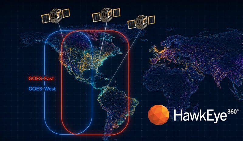
A transmitter that had occupied a satellite uplink position on NOAA’s weather data network for years, its exact location unknown, has been found and removed, restoring the slot to full use.
“This mission demonstrates how our space-based signals intelligence can directly support the continuity of essential civil systems.”
Todd Probert, HawkEye 360
HawkEye 360 said the device had been operating on the GOES Data Collection System, an uplink network used by more than 600 organizations in 42 countries for environmental and hazard monitoring. The Herndon, Virginia-based company, which trades on the New York Stock Exchange as HAWK, said the transmitter’s location could not be confirmed by conventional means.
That made the device hard to manage even though it kept transmitting. It broadcast for just 1.9 seconds at a time on a narrow 1.5 kHz channel, according to the release, operating amid multiple simultaneous uplinks that made it difficult to isolate from the surrounding signal traffic.
HawkEye 360 said it used its satellite-based radio frequency data and analytics to pin down the transmitter’s position and provided that geolocation to the operator, who verified the equipment and removed it. The release said that action restored full availability of the uplink slot and returned the operator to compliance with federal regulations. The release does not name the specific operator involved.
“This mission demonstrates how our space-based signals intelligence can directly support the continuity of essential civil systems,” said Todd Probert, chief operating officer at HawkEye 360.
“Working with NOAA, we were able to pinpoint a transmitter that had been missing for years and return valuable spectrum to the organizations that depend on it for environmental monitoring and public safety,” Probert said.
The geolocation had a secondary payoff. According to the release, it gave the operator enough information to locate a second transmitter independently, which led to the recovery of several non-functioning devices that had gone undetected for years and can now be refurbished for future use.
HawkEye 360 said the mission adds to a series of jobs it has done supporting NOAA’s efforts to protect the GOES data network from interference, including resolving a persistent UHF uplink interferer that had affected environmental data delivery across more than 50 countries, and geolocating a disruptive transmitter near Quito, Ecuador, that Ecuador’s telecommunications authority then removed from the slopes of the Guagua Pichincha volcano.
The GOES system supports real-time volcanic monitoring, flood forecasting, tsunami alerts and thousands of environmental sensors worldwide, the release said.