

Commercial Imagery Program Contract Awarded to Maxar

A Commercial Imagery Program contract has been awarded to Maxar Technologies by the National Geospatial-Intelligence Agency (NGA). The indefinite quantity (IDIQ) contract will be worth up to $192 million over five years to the company.
“Maxar’s high-resolution 2D and 3D imagery and data products are integral for high-confidence mapping, planning and operational support, helping end users make faster, better decisions and saving lives, resources and time.”
Tony Frazier.
Under the Foreign Commercial Imagery Program contract, Maxar will provide multiple U.S. allies and partners with commercial imagery services consisting of high-resolution electro-optical, synthetic aperture radar (SAR) and 3D data products.
Commercial Imagery Program Contract Will Leverage the Following Products:
SecureWatch: Giving on-demand access to the world's most recent, high-accuracy and high-resolution satellite imagery and analytics.
Rapid Access Program: Providing the highest commercially available collection priority, predictable access plus virtual control of imaging operations to help meet mission requirements—all from any location on Earth.
Precision3D: Enhancing situational awareness and decision-making, providing a precise, true representation of Earth that not only reflects the terrain in all dimensions but also provides an accurate foundation for additional data sources.
Commercial SAR: Enabling customers to stay apprised of their areas of interest, regardless of light or weather conditions. Because radar imagery can penetrate through clouds and darkness, it is uniquely suited to provide reliable and continuous monitoring.
“Maxar is proud of our more than two decades’ experience supporting the sharing of critical, actionable geospatial information with U.S. allies and partners,” said Tony Frazier, Maxar’s EVP and General Manager, Public Sector Earth Intelligence. “Maxar’s high-resolution 2D and 3D imagery and data products are integral for high-confidence mapping, planning and operational support, helping end users make faster, better decisions and saving lives, resources and time.”
Maxar Technologies is a provider of comprehensive space solutions and secure, precise, geospatial intelligence. The company delivers disruptive value to government and commercial customers to help them monitor, understand and navigate our changing planet; deliver global broadband communications; and explore and advance the use of space.
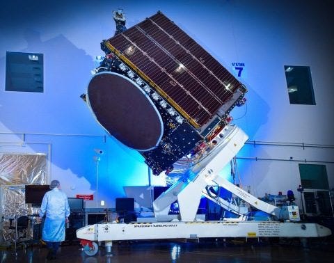
(Source: Maxar Technologies news release. Image provided)