

Australia And New Zealand Boost Satellite Navigation Services
Governments Award Viasat $162 Million Contract To Expand High-Precision Positioning Network

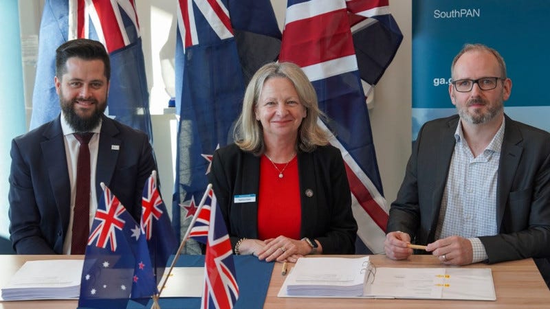
Australia and New Zealand have awarded a $162 million contract to Viasat Inc. to expand satellite services for their joint navigation system. The agreement extends the Southern Positioning Augmentation Network program, which provides precise positioning services across the region.
"This agreement secures a reliable satellite service and ground infrastructure, delivering precise positioning across Australia and its maritime zones – enabling industries to innovate where accuracy is critical."
Melissa Harris, Geoscience Australia
Geoscience Australia and Toitū Te Whenua Land Information New Zealand awarded the $252 million AUD ($162 million USD) contract to the satellite communications company to deliver additional services for SouthPAN. The estimated net incremental value for Viasat from this agreement is $214 million AUD ($138 million USD).
SouthPAN is a collaborative satellite-based augmentation system developed jointly by Australia and New Zealand that provides precise positioning and navigation services to support aviation, maritime, agriculture, surveying and emergency response sectors.
The system serves growing applications in agriculture, including precision spraying, yield mapping, controlled traffic farming, inter-row seeding and livestock management. It is also capable of improving personnel safety on mine and construction sites through smart geo-fencing technologies to accurately identify the location of workers operating vehicles and heavy machinery.
This marks the second such award for Viasat, after Inmarsat – which has since combined with Viasat – was awarded a contract in May 2023 to deliver a satellite payload for SouthPAN. The new agreement covers the continuation of services from Viasat's existing in-orbit satellites as well as a new payload.

"This agreement secures a reliable satellite service and ground infrastructure, delivering precise positioning across Australia and its maritime zones – enabling industries to innovate where accuracy is critical," said Geoscience Australia's Chief Executive Officer, Melissa Harris. "From farms to freight, users will be able to access free services that are accurate and timely."
"SouthPAN represents extraordinary potential for the region: It can save lives by enabling precision safety tracking, help farmers improve productivity through automated device tracking, and even support transport management systems of the future," said Todd McDonell, President, Viasat International Government.
SouthPAN is delivered by Geoscience Australia in partnership with Toitū Te Whenua Land Information New Zealand, with early services available to both countries since 2022.
Our Take
This contract expansion signals growing demand for precision positioning services across multiple industries in the Asia-Pacific region. The satellite navigation system enables critical applications from autonomous farming equipment to emergency response coordination, positioning Australia and New Zealand as leaders in next-generation location technology deployment.
The investment also represents a significant revenue opportunity for satellite communications providers serving government contracts in the region.